| 1793 |
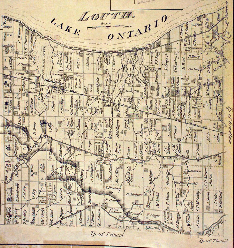
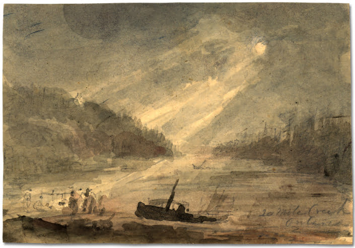
When Governor Simcoe and his wife, Elizabeth, visited the Twenty, Mrs. Simcoe stated in her diary that there were already two families of Butler’s Rangers at the harbour and that walking along the bank up the Twenty, she had bread and milk and butter at a home of a family from Pennsylvania. Later that year Elizabeth Simcoe painted pictures of the five-ton ships in the harbour. |
| 1794 |
July 27, Elizabeth Simcoe Diary Entry – “We dined on the beach at the Twenty-Mile Creek and went across the great pond to one of Col. Butler’s houses, where we slept, after taking great pains to smoke the house and fix the mosquito net well; for this place abounds so much with mosquitoes that the farmer does not sleep in his house from June til September, but sleeps in his barn to avoid them. The pond is full of wild rice, a marshy weed” This was when she visited the home of Capt. Peter Hare. |
| 1797 |
Captain Peter Hare, Butler’s Rangers, was granted up to 3,000 acres altogether. His second wife was Margaret Fairchild Secord, widow of Lieut. Solomon Secord. Her son, Solomon Secord inherited the land where Bridgeport was created, which had originally belonged to his grandfather, Peter Fairchild. |
| 1803 |
Peter Fairchild, Butler’s Ranger, Loyalist received a patent from the Crown for the property described in 1794 by Elizabeth Simcoe. |
| 1818 |
Robert Gourlay’s statistical accounts said the Twenty Mile Creek which flowed into the pond was navigable for craft of five to twenty tons. Ships could continue to sail southward almost three miles, very nearly to what is now the village of Jordan. |
| 1841 |
Solomon Secord inherited this property in 1841 from his mother, Widow Hare, who married Captain Peter Hare, Butler’s Ranger, Loyalist. |
| 1848 |
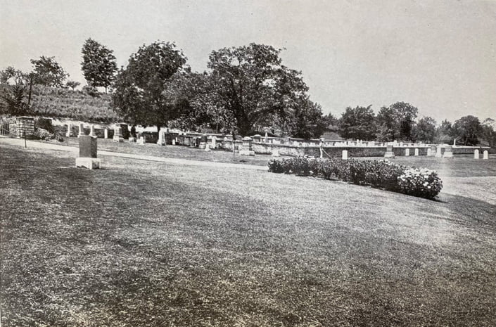
Bodies were first buried in what is now known as Oaklawn Cemetery, possibly railroad construction workers and their families. |
| 1840s-1860s |
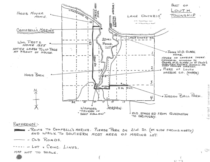
Richard Gilbert built schooners on “Hogs Back”, land at the end of Culp Road which jutted out into the west side of the Twenty Mile Creek. We know of three schooners, the Sweet Home, a 2-mast schooner built c1853 by S. Little, owned by William Bradt; the Mayflower, built c1862, also known as the Flying Yankee; and the Flying Dutchman, built c1862 by R. Gilbert, owned by Moses Overholt. Because the railway bridge was built in 1853, schooners built after that date had to be floated under the bridge without masts and rigged out on the north side of the bridge. |
| 1851 |
Census – Solomon Secord and his family were living in a 1 ½ storey frame house in Louth Twp. |
| 1852 |
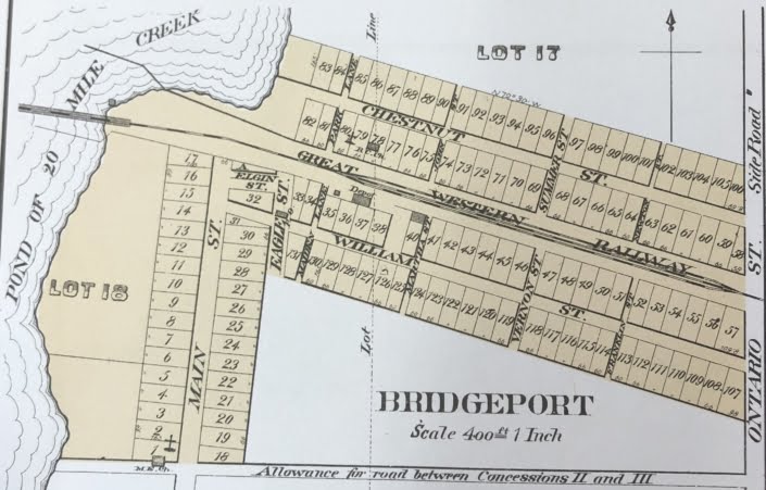
Solomon Secord sold 6 ¼ acres to the Great Western Railway for a right-of-way across his land. |
| 1853 |
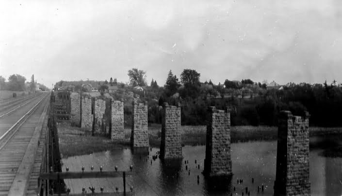
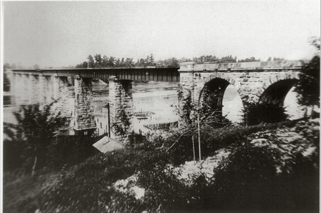
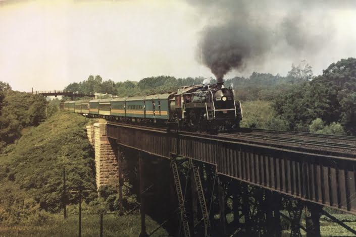
A wooden trestle bridge spanned the Twenty Mile Creek (present steel bridge is in the same location). |
| 1856 |
Solomon Secord surveyed and subdivided the land adjacent to the Railway, had Bridgeport Plan 41A drawn-up and registered 29 April 1856. |
|
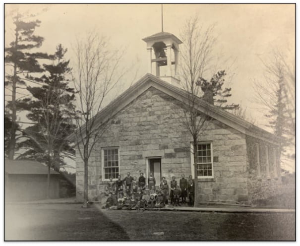
A school had been built along the east side of the pond bank, south of the railway tracks, not too far from where the Macabee Lodge was located. This hall was used for school, a Lodge Hall, for travelling medicine shows, dances and as a polling station for this polling division. |
| C1856 |
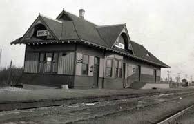
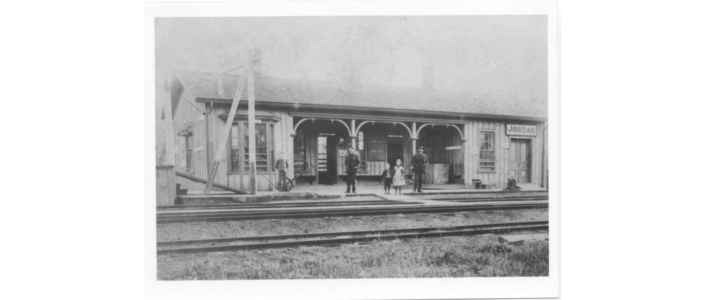
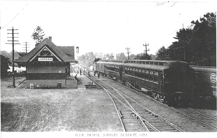
The first Great Western Railway station was built. |
| 1856-1875 |
Mail for Jordan and area was delivered twice a day 6 days a week, taken to Jordan Post Office, sorted, then the people in Bridgeport had to travel 2 miles to Jordan to get their mail. |
| 1859 |
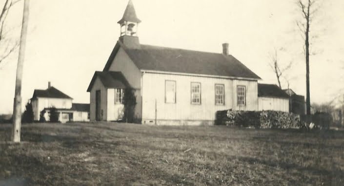
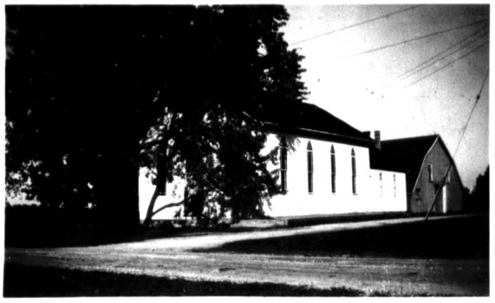
Cemetery land was sold to Methodist Church, and a church building was built on this property. |
| 1861 |
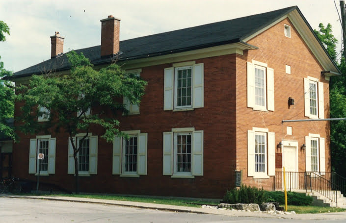
Census – Solomon Secord and his family were living in a 1-storey brick bungalow in Louth Twp. |
| 1862 |
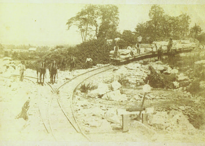
Robert L. Gibson, quarryman, was living in the brick Secord house while the stone piers for the second railway bridge was being built. His first child was born in Bridgeport at that time. |
| 1865 |
36 people lived in Jordan; 30 people lived in Bridgeport. |
| C1860s |
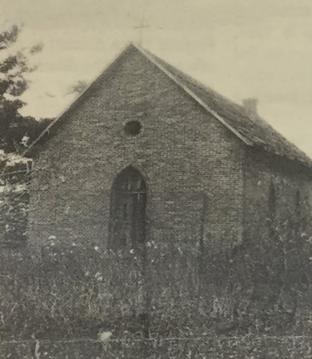
A small red-brick Catholic church named St. Mary’s was built on the south side of Chestnut St. near the edge of Twenty Mile Creek. The small bay to the north of this location became known as Catholic Bay. |
|
| 1865 |
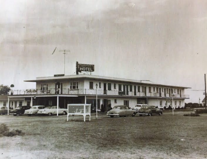
Gould’s /Goold’s log and frame saloon burned down. Gould’s Hotel was known as Bridgeport Hotel, then “Jordan Station Hotel” as well as Gould’s Hotel. |
| 1867 |
At the time of Confederation, the Grand Trunk Railway was the world’s largest railway system with 2,055 km of track. |
| 1868 |
A stone trestle bridge was completed but it was not high enough to allow schooners with tall masts to pass under. The Grand Trunk railway took much of the business of delivering fruit and vegetables to far away places. |
| 1871 |
There was a Constable in Bridgeport. |
| 1873 |
April 10, the second Great Western Railway station burned – building was completely destroyed. Company books and goods in freight house were saved. |
| 1873 |
September, Great Western railway established a telegraph at Bridgeport. |
| 1875 |
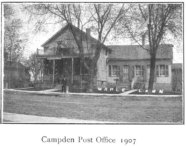
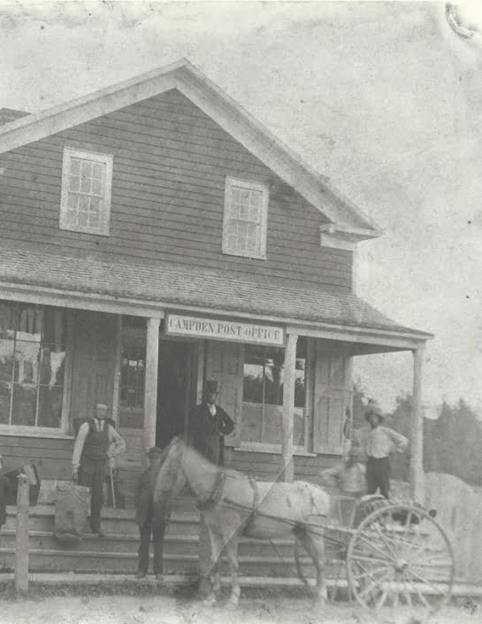
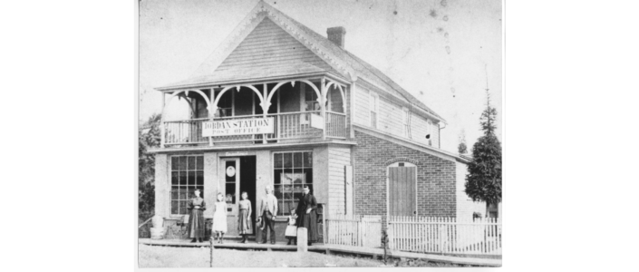
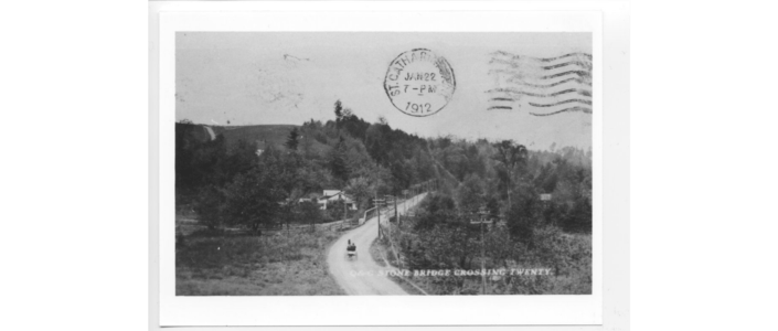
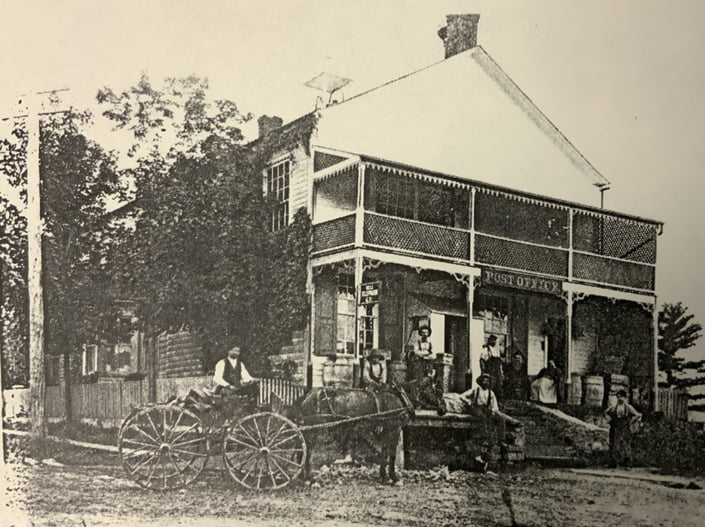
JORDAN STATION – December 1, 1875, Jordan Station Post Office: Bridgeport residents requested their own post office – problem, another Bridgeport north of Waterloo so a new name for Bridgeport was needed. From the St. Catharines Daily News, December 1, 1875 “A new post office was opened at Jordan Station and will commence operations today. The Post Master is Mr. D. G. Smith. The name is ‘Jordan Station’. It will prove a great convenience to many in that locality and save many a two-mile tramp” |
| 1880 |
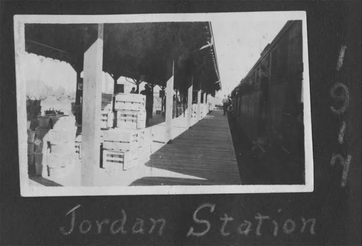
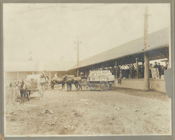
Apples, peaches, plums, strawberries and blackberries were shipped to distant places. |
| 1881 |
Senator E.D. Smith invented and built the first blower car for shipping fruit by train. The blower car was equipped with a fan that blew across blocks of ice, cooling the air and working like a refrigerator. This allowed fruit to be shipped for longer periods of time and over greater distances without spoilage. |
| 1882 |
Great Western railway was sold to the Grand Trunk Railway; villagers complained of stagnant water lying in the ditches on each side of the track through Jordan Station; which caused malaria and other diseases. |
| 1882 |
Methodist Church kept records of burial plots from this time on. |
| 1886 |
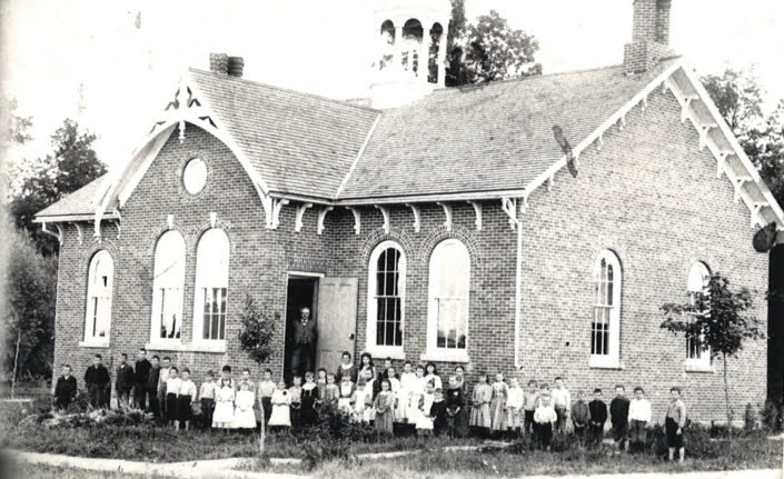
A new Jordan Station Public School was built on 15th Street. It closed in 1982. It is now Jordan Christian School. |
| 1890-1895 |
Moltimore Banks, teacher at Jordan Station Public School earned $480.00 per year but in 1895 salary was cut back to $450.00. Mr. Banks resigned in 1895. |
| 1900-1910 |
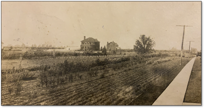
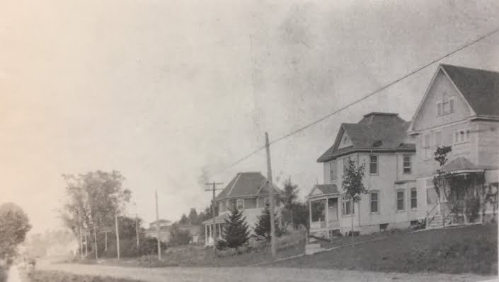
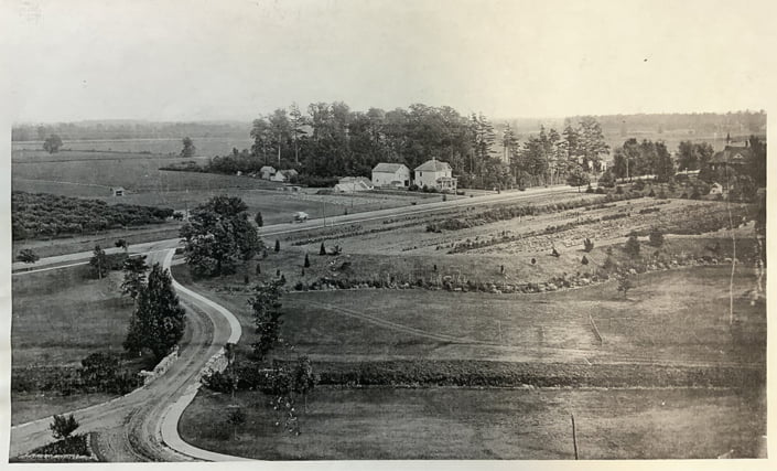
A number of large, brick homes were built in the Jordan / Vineland area due to the successful fruit and berry crops. |
| 1903 |
The present steel, double-track bridge and railway line was built along the path of the original trestle bridge. This was a double-track bridge and railway. |
| 1907 |
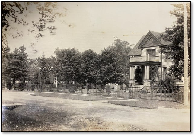
Solomon Rittenhouse had such a successful strawberry crop that he built a new brick home (now Prudhomme’s antiques). |
| 1908 |
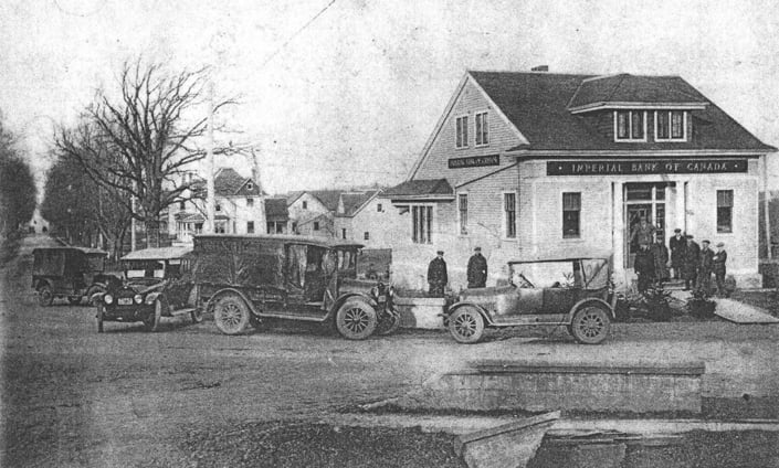
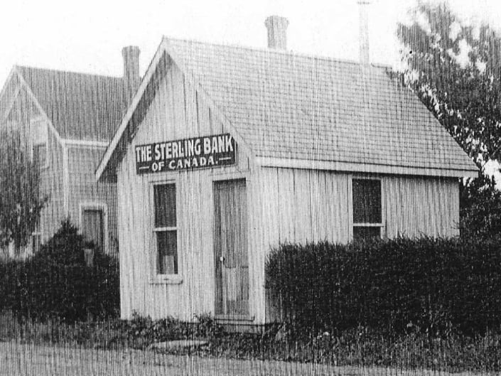
Sterling Bank – new brick building opened – now converted to a private home. |
| 1908 |
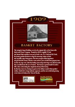
C.M. Honsberger built Jordan Station Canning and Preserving Co., a frame canning factory, on the southwest corner of Nineteenth St. and Red Maple St., when he had an abundance of fruit. The cans were sealed by soldering the caps, one step removed from the first days of canning when the cumbersome method of wrapping tin plate around a wooden mold fashioned the containers. This plant canned tomatoes, peaches, strawberries, beans, peas, apples and blackberries. It operated until 1912. This building became a basket factory until the 1950s. |
| 1909 |
Moses K. Rittenhouse bought lots 22, 23 and 25, built his home and began making wooden sprayers for farmers. He paid young neighbourhood boys to paint the interiors. |
| 1912 |
Dominion Canners built a large brick canning plant on the south side of Chestnut Street. As many as 200 workers were employed at the height of the season. Water was pumped from the pond and effluent was dumped into the same pond. |
| 1913 |
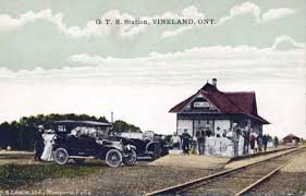
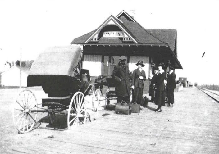
New Railway Station built. |
| 1915 |
Jordan Station became a police village. |
| 1915 |
Concrete sidewalks were installed. |
| C1915 |
William Oliver had plans drawn up for the subdivision on Victoria St., now called Queen Victoria St. |
| 1915 |
Chauncey Moote purchased Lot 11 on Victoria St. and built the first home in the subdivision. |
| 1918 |
Dominion Canners had a typhoid epidemic traced to a “carrier” who worked in the plant. This plant was closed for four years, then reopened. |
| 1919 |
Grand Trunk railway went bankrupt. |
| 1928 |
Methodist Church purchased land on the northeast corner of Bridgeport St. and Red Maple Rd. and moved the church building to this lot – members brought their teams of horses and the building was rolled on logs to the new location and placed on the prepared basement. This information from Arminta Overholt who said her husband Courtland Overholt took his team of horses to help with the moving. |
| 1930 |
Moses K. Rittenhouse purchased lots 2, 3 and 4 on the west side of Bridgeport Dr., next to Oaklawn Cemetery. |
| 1946 |
Moyer Diebel Ltd. was started after WWII ended, located in a barn across from the Moyer home. Arthur Moyer and Howard Diebel, RCAF, began manufacturing metal barbeques. In 1953 the company moved to a plant at the foot of Jordan Road. |
| 1950s |
Dominion Canners closed its operations. The closing removed a considerable portion of the employment possibilities for people in the area. |
| 1970 |
Jordan Station became part of the Town of Lincoln. |
| 1976 |
The railway station was no longer used, it was sold and moved to the south side of Prince William St. and is now a private home. |
| 2023 |
Now there is only a Post Office which covers the area from Beamsville to the east part of Louth Township in the Town of Lincoln, the Jordan Station United Church, Vineland Growers Ltd., Verhoef Electric Inc., as well as numerous fruit and vegetable farms and wineries. |


